A Dash to the Craters Report and Photo Essay
Thank you for reading this A Dash to the Craters Report. Spent some time behind the wheel this week, and certainly got a change of weather.
Subscribers without photos- go to https://www.spottedtail.com/blog/, please.
I wrapped up last week’s blog with this- “…planning in visiting Deception Pass State Park, and some art galleries tomorrow, hoping it does not rain.” Oh, but it did rain. Fifty-six windy, raining degrees meant our Deception Pass State Park visit was completely washed out. We headed to Everett, Washington, where we spent a night in a rain-free La Quinta. Got showers, washed clothes, bought groceries, and got ready for the next phase of the trip.
Oregon Trail Interpretive Center.
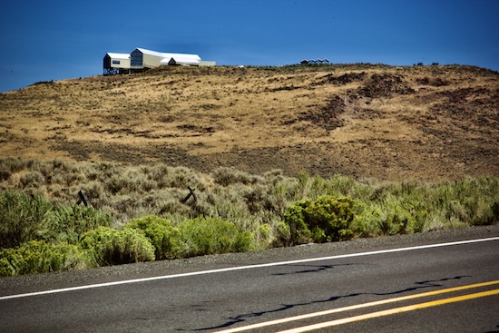
Heading east, we found ourselves at the National Historic Oregon Trail Interpretive Center. Utterly amazing, looking history right in the face. The trail ran from Missouri to Oregon, and there are historical landmarks all along the route. Learn more about the Trail here…
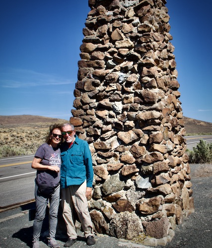
At a trail marker. The pioneers didn’t have these.
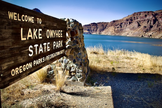
We spent that night at Lake Owyhee State Park. Did I know the Owyhee River was a blue-ribbon trout stream? I did not. Because I was with Susan, and still in the travel mode, I did not fish it, which nearly killed me. Not the first, or last, time that happened on this trip. The fishing is coming, though.
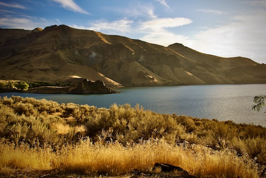
The lake, formed by damming the river. A common theme throughout the west.
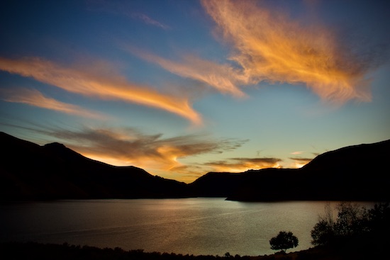
Sunset over the lake.
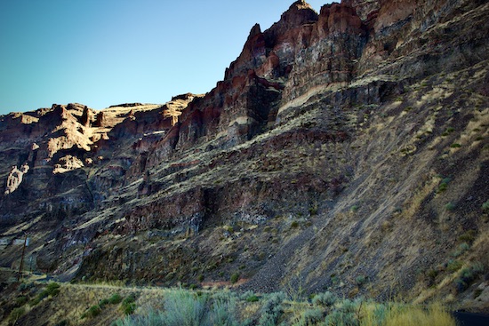
A wall of Owyhee Canyon.
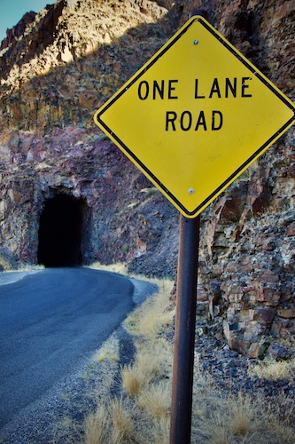
Driving the road here was an adventure!
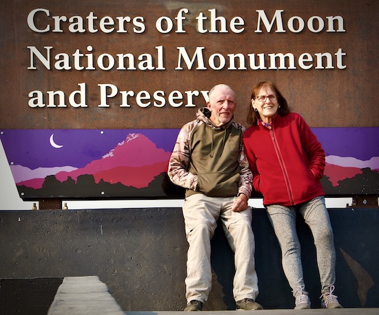
Our dash finished at Craters of the Moon National Monument. After three days here, we now know more about volcanoes and lava than I ever thought we would. It’s been great! And we’re here two more nights! Maxx and Catalina are meeting us here tomorrow, and they want to see the place, too. And now we know the best places to show them. Then, we’re off again, heading further east- stay tuned!
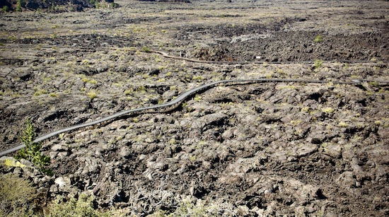
A trail through the enormous lava beds. Can you see the two people?
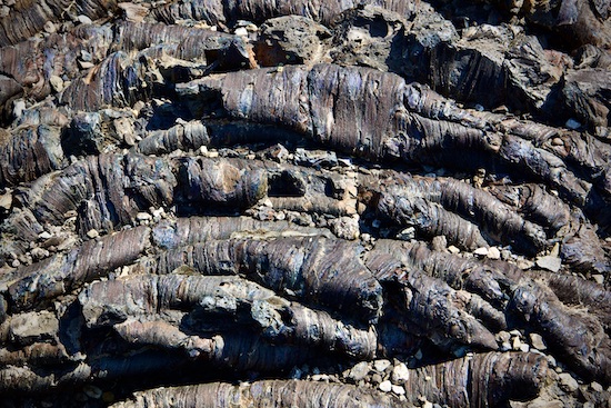
Pahoehoe lava has a ropy texture.
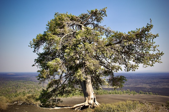
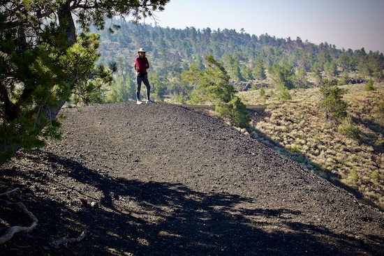
A large limber pine on top of the Inferno Cone, made up entirely of cinders.
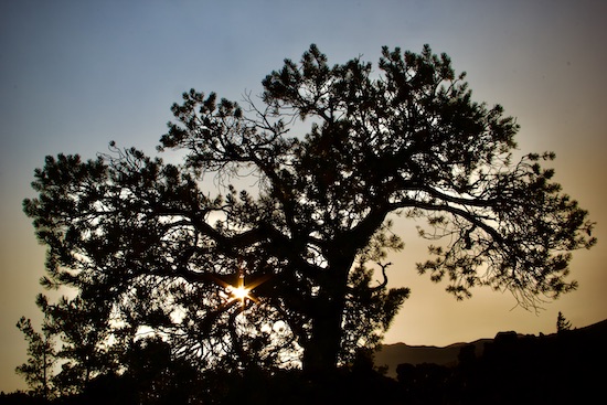
Sunset through another limber pine.
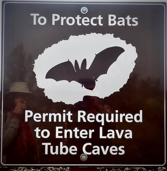
We got the permit, and went to the caves.
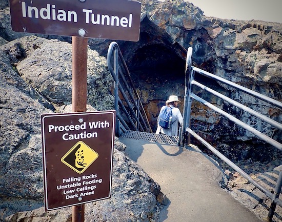
We liked Indian Tunnel the best.
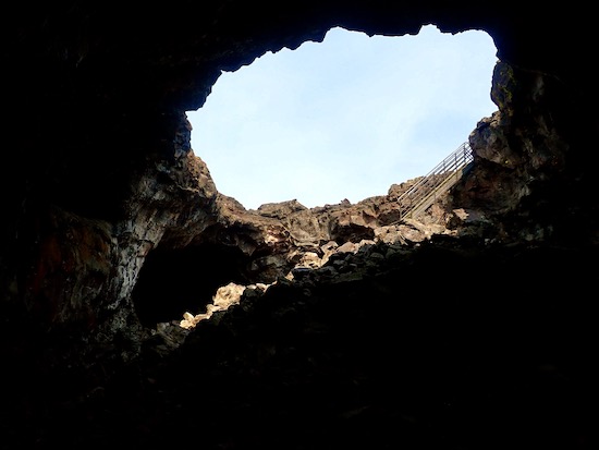
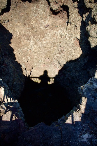
Sure feels like a cave!
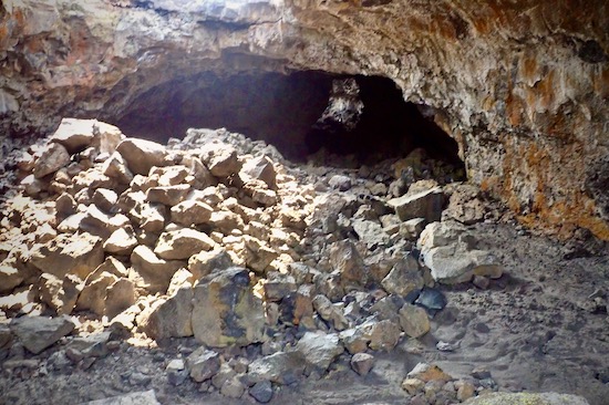
This “tunnel” or “cave” is actually a lave tube that formed during the last volcanic eruption here, about 2000 years ago. Part of its roof has collapsed here.
Here I’m looking down into the vent of a cinder cone. It plugged with cooling magma when the eruption stopped.
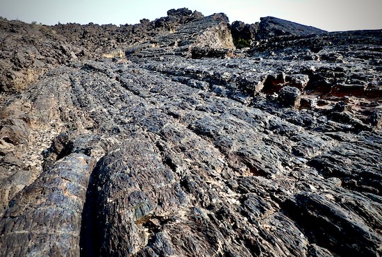
More pahoehoe lava, showing the extensive beds.
On a trail through the lava flows.
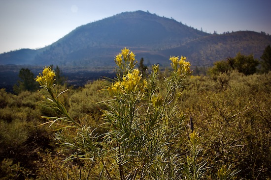
Some rabbitbrush, and a cinder cone.
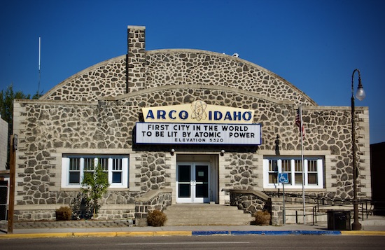
Arco, 18 miles away, is the nearest town.
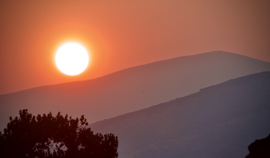
Sunset, through the smoke of a forest fire, from our campsite.
Next stop- Yellowstone!
That’s the Dash to the Craters report. Thanks for reading!
Every day is a blessing. Don’t waste it- Go fishing! Go paddling! Go for a walk! Stay active!
John Kumiski
www.johnkumiski.com
www.spottedtail.com
www.spottedtail.com/blog
All content in this blog, including writing and photos, © John Kumiski 2024. All rights are reserved.
Speak Your Mind