From Craters to Yellowstone Report

From Craters to Yellowstone Report and Photo Essay

Thank you for reading this From Craters to Yellowstone Report. From lava and volcanoes to geysers and hot springs- it’s all related. No, I still have not fished. The next report will have fly fishing, from Montana, for trout, the kind of fishing I am least good at.

Note to Readers- This post is a week old. This is the first chance I’ve had to post it. Will get the fishing one up as soon as I can (but it’s not written yet).

Subscribers without photos- go to https://www.spottedtail.com/blog/, please.

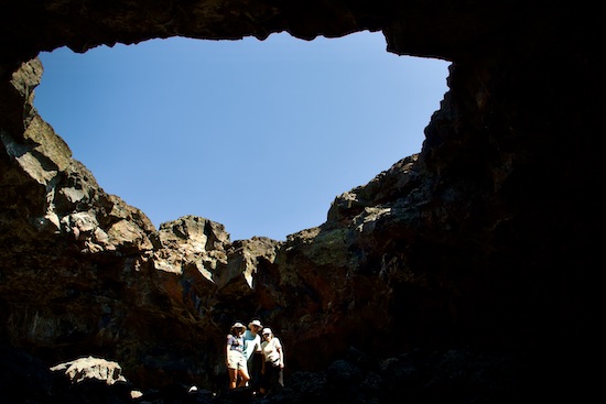
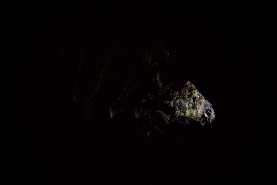
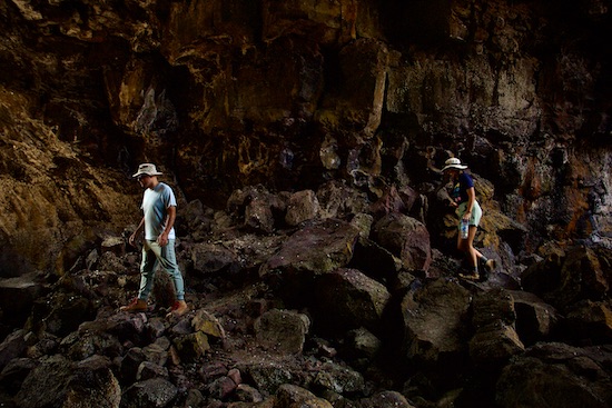
Before leaving Craters of the Moon, we went back to the lava tubes. This time I carried my dSLR. I thought it was worth it.

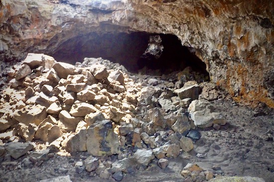
Inside a partially collapsed lava tube.


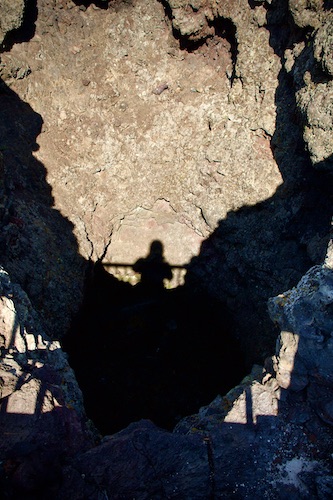
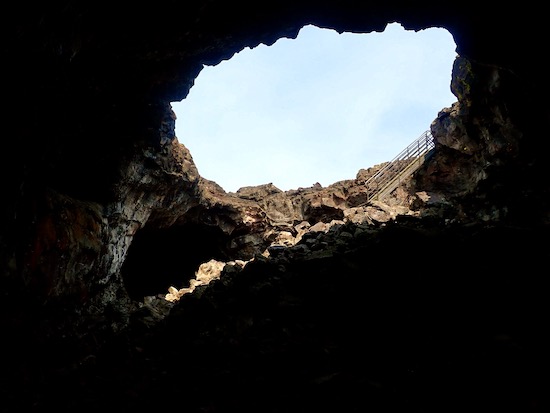
The hole in the roof, where the partial collapse happened.


Still in the tube!

On the way to Yellowstone National Park, we stopped at the site of the world’s first nuclear reactor, which is now a free museum. It seems this one was cooled by liquid sodium and potassium. The plants at Three Mile Island, Chernoble, and Fukishama were all water-cooled. Coincidence, or cost-cutting?

The EBR-1, world’s first nuclear reactor.

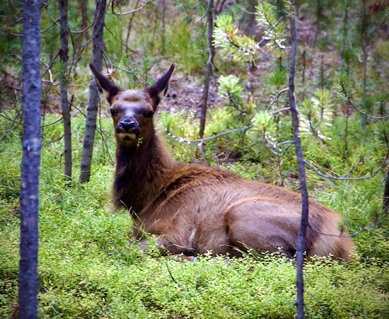
In the park we camped at Grant Landing. The only animals that visited our site were chipmunks, squirrels, ravens, and Clark’s nuthatches. But a sixty-second walk one evening brought us to a site having a visit by a few elk.

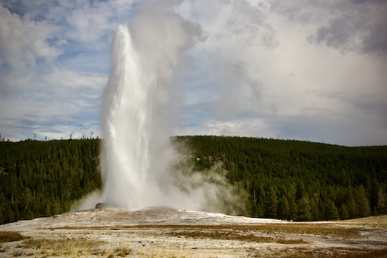
We saw some geysers, led of course by Old Faithful.


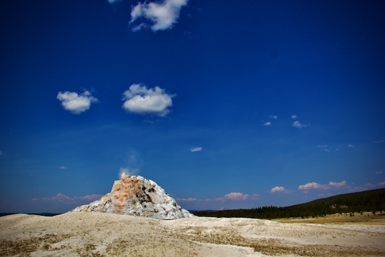
This geyser, not so faithful.

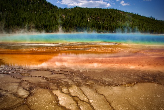
We saw some hot springs. Grand Prismatic is the grand daddy.

Grand Prismatic Spring.


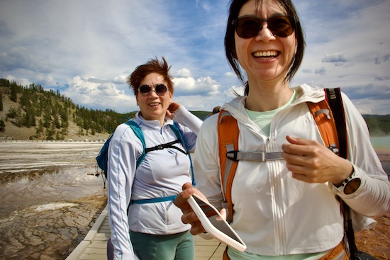
These women asked me to take their picture, so I did.


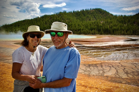
Me and my squeeze.


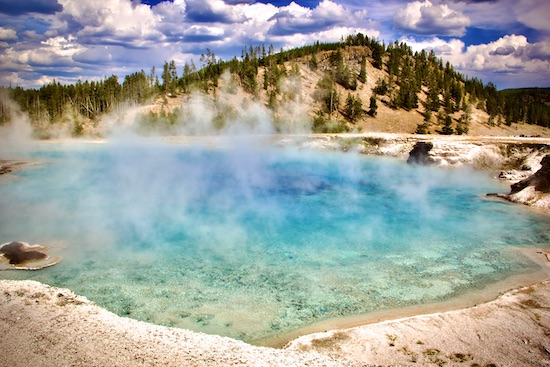
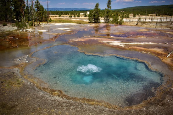
That “other spring.”


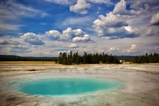
And another spring.


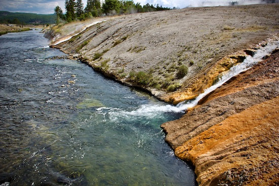
All those springs flow into the Firehole River.


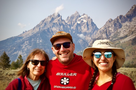
We made a side trip the Grand Teton National Park.


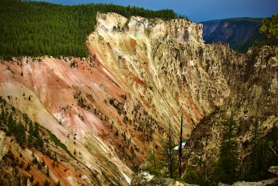
Grand Canyon of the Yellowstone River.


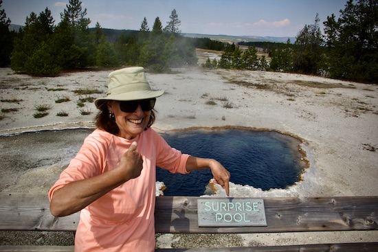
Another hot spring!


Susan’s maiden name is Surprise. They named this spring after her!!


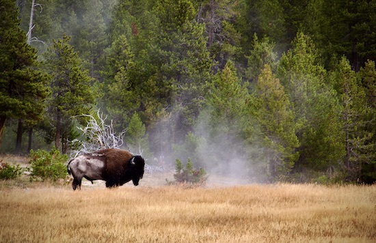
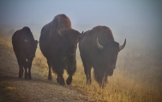
We saw some bison, LOTS of them.


Bison in the Mist, Lamar Valley.

We saw some fly fishermen, all while driving by. Hope some had success. The rivers are breathtaking.

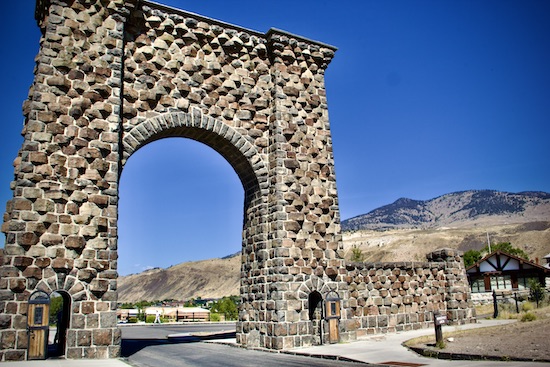
After seeing the bison at Lamar Valley, we went to the Roosevelt Arch. The town of Gardiner is right there. Someone had the idea we look for elk brats. Even I, who have had one small piece of beef since 1976 (quasi-vegetarian, I am), thought this was a good idea. Caught up in the moment, I guess.

We ended up at a place with both elk and bison burgers, and split one of each one way. I wasn’t impressed, but my three traveling companions thought they were yummy.

An hour later, at Mammoth Spring, I suddenly felt awful, with weird pains in my chest. Two miles from the clinic, off we went. As soon as I walked in I vomited four times. Next thing, I have an IV, and EKG, a chest X-ray, and am being drugged with Benadryl. I asked my family to photograph me, but they were in such shock and so concerned that not one of them did it, so no photos. My EKG was fine- it was a severe case of indigestion. They released me into Maxx’s care, for only $700. Expensive damn burger!

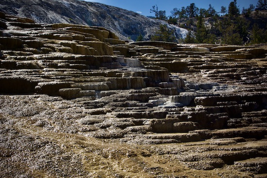
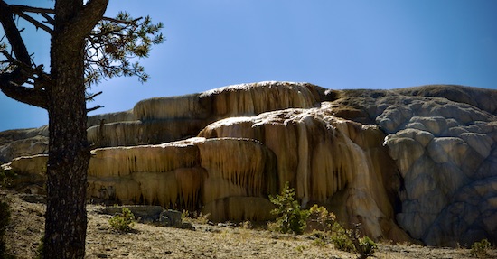
I was fine the next day. We went to more springs, and mud pots, and similar stuff. There are over 300 geothermal features in Yellowstone. I’d guess we hit close to a third of them.

Mammoth Spring, the day after my incident.


Still Mammoth Spring. It’s mammoth!

That’s the From Craters to Yellowstone report. Thanks for reading!

Every day is a blessing. Don’t waste it- Go fishing! Go paddling! Go for a walk! Stay active!

John Kumiski
www.johnkumiski.com
www.spottedtail.com
www.spottedtail.com/blog

All content in this blog, including writing and photos, © John Kumiski 2024. All rights are reserved.

A Dash to the Craters Report

A Dash to the Craters Report and Photo Essay

Thank you for reading this A Dash to the Craters Report. Spent some time behind the wheel this week, and certainly got a change of weather.

Subscribers without photos- go to https://www.spottedtail.com/blog/, please.

I wrapped up last week’s blog with this- “…planning in visiting Deception Pass State Park, and some art galleries tomorrow, hoping it does not rain.” Oh, but it did rain. Fifty-six windy, raining degrees meant our Deception Pass State Park visit was completely washed out. We headed to Everett, Washington, where we spent a night in a rain-free La Quinta. Got showers, washed clothes, bought groceries, and got ready for the next phase of the trip.

Oregon Trail Interpretive Center.

Heading east, we found ourselves at the National Historic Oregon Trail Interpretive Center.  Utterly amazing, looking history right in the face. The trail ran from Missouri to Oregon, and there are historical landmarks all along the route. Learn more about the Trail here… 

At a trail marker. The pioneers didn’t have these.

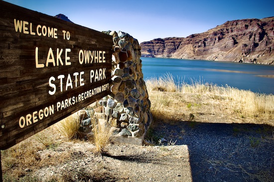
We spent that night at Lake Owyhee State Park. Did I know the Owyhee River was a blue-ribbon trout stream? I did not. Because I was with Susan, and still in the travel mode, I did not fish it, which nearly killed me. Not the first, or last, time that happened on this trip. The fishing is coming, though.


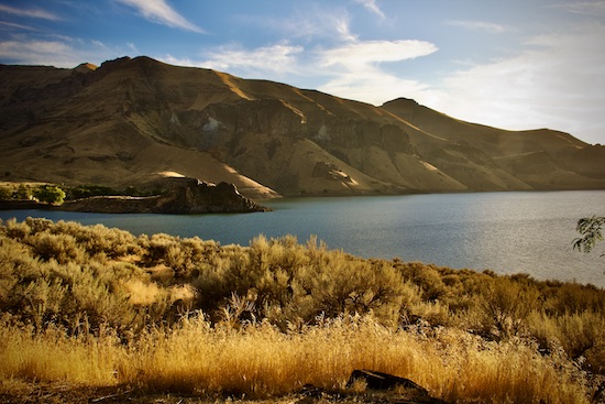
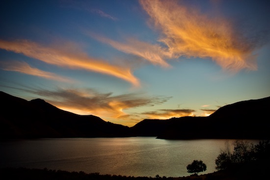
The lake, formed by damming the river. A common theme throughout the west.


Sunset over the lake.


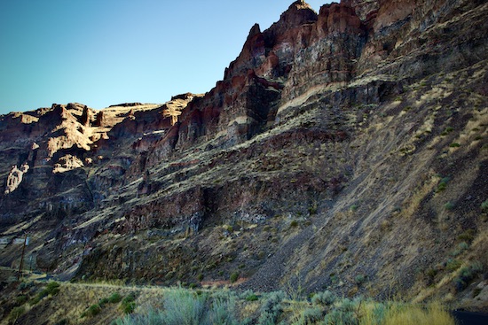
A wall of Owyhee Canyon.


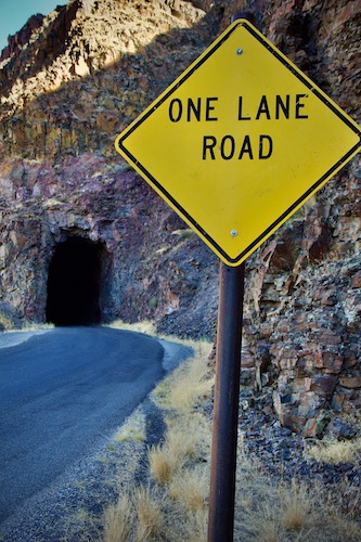
Driving the road here was an adventure!

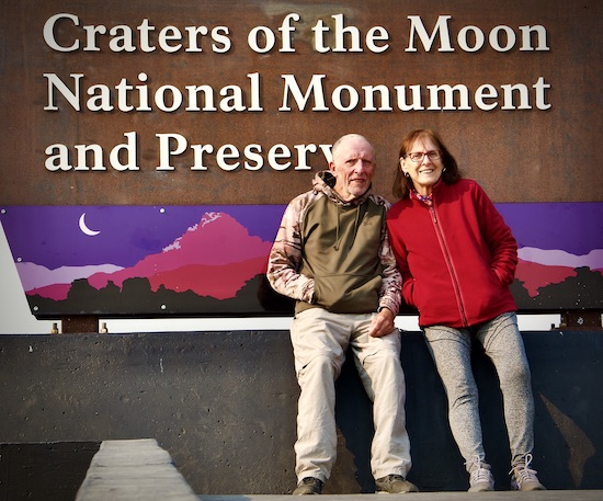
Our dash finished at Craters of the Moon National Monument. After three days here, we now know more about volcanoes and lava than I ever thought we would. It’s been great! And we’re here two more nights! Maxx and Catalina are meeting us here tomorrow, and they want to see the place, too. And now we know the best places to show them. Then, we’re off again, heading further east- stay tuned!


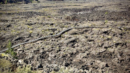
A trail through the enormous lava beds. Can you see the two people?


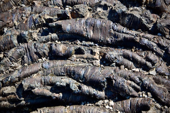
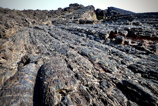
Pahoehoe lava has a ropy texture.


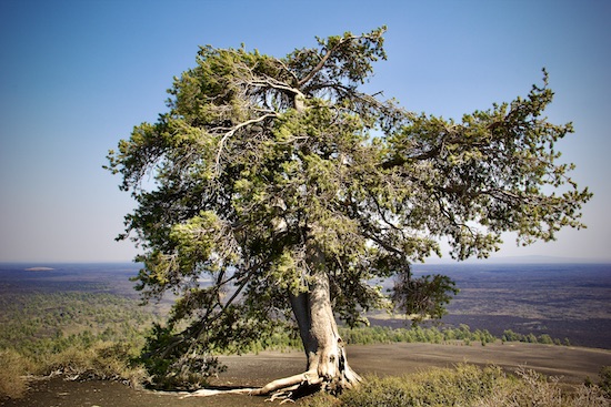
A large limber pine on top of the Inferno Cone, made up entirely of cinders.


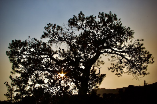
Sunset through another limber pine.


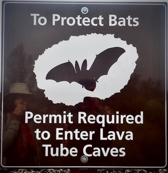
We got the permit, and went to the caves.


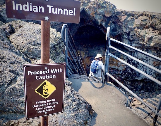
We liked Indian Tunnel the best.


Sure feels like a cave!


This “tunnel” or “cave” is actually a lave tube that formed during the last volcanic eruption here, about 2000 years ago. Part of its roof has collapsed here.


Here I’m looking down into the vent of a cinder cone. It plugged with cooling magma when the eruption stopped.
 

More pahoehoe lava, showing the extensive beds.
 

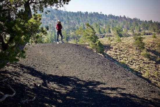
On a trail through the lava flows.


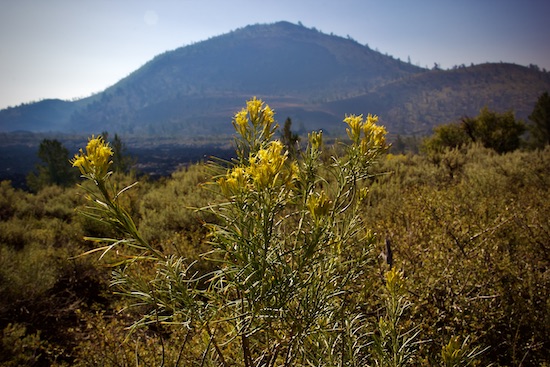
Some rabbitbrush, and a cinder cone.


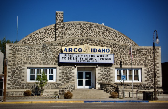
Arco, 18 miles away, is the nearest town.


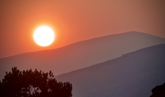
Sunset, through the smoke of a forest fire, from our campsite.

Next stop- Yellowstone!

That’s the Dash to the Craters report. Thanks for reading!

Every day is a blessing. Don’t waste it- Go fishing! Go paddling! Go for a walk! Stay active!

John Kumiski
www.johnkumiski.com
www.spottedtail.com
www.spottedtail.com/blog

All content in this blog, including writing and photos, © John Kumiski 2024. All rights are reserved.